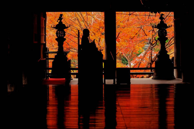
Naruko Gorge
This gorge was formed at the southern foot of Mt. Hanabuchi by the Oyagawa River. The sides are precipitous, with drops from 80 to100 meters high, and stretch for about three kilometers. The fall leaves here are a famous sight, and this is designated one of Miyagi Prefecture’s top sights. There’s a maintained walking trail stretching about 2.5 kilometers along the river, taking about an hour to walk, and offering a gorgeous view of not only the forest but also rock formations created by the river’s erosion. The Narukokyo Resthouse in particular offers a stunning view of the Obukazawa Bridge contrasted against the leaves.
Spot details
- Address
-
Miyagi Pref. Osakishi Narukonsen Hoshinuma
Map
- Area
- Northern Area
Information Sources: NAVITIME JAPAN


![[Winter in Miyagi Prefecture, Osaki City] SNOW, ONSEN, TRECKING - A new way to enjoy winter! Enjoy Naruko Onsen! Hot spring bathing included](https://img.activityjapan.com/10/25402/10000002540201_hnIuQblL_4.jpeg?version=1685625085)


