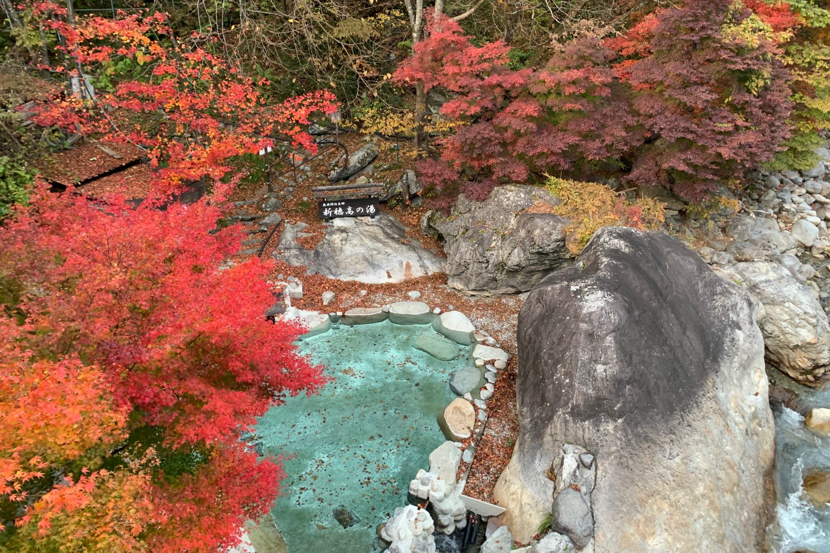
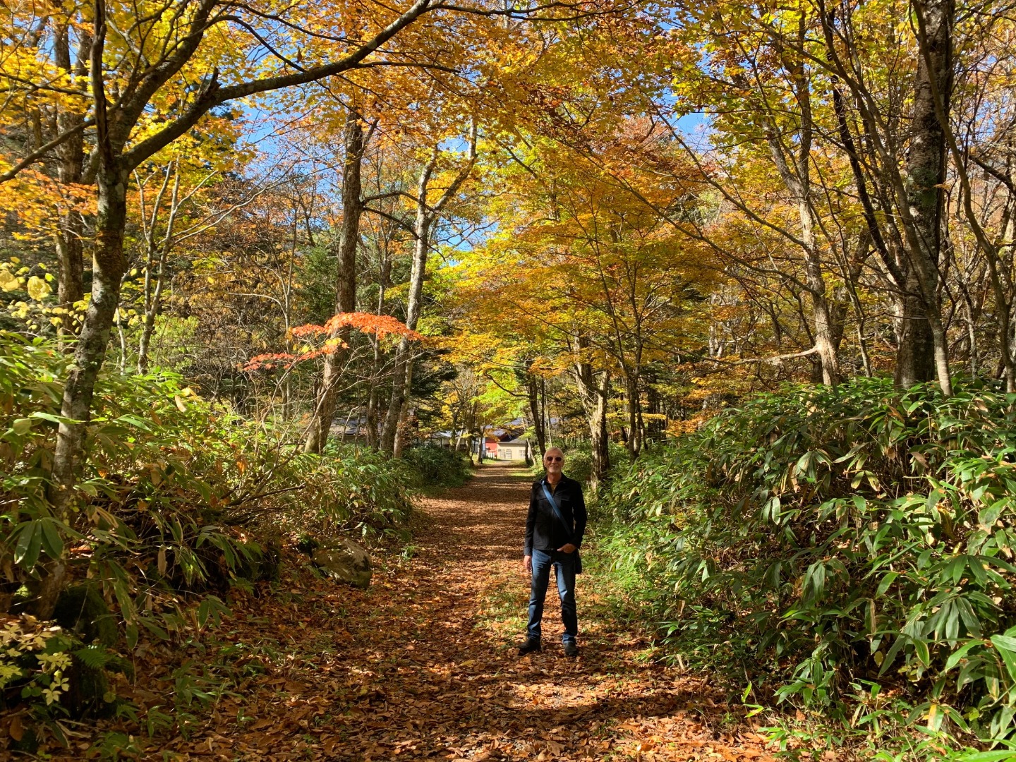
Hirayu Pass
A pass situated along National Route 158 traveling from Takayama to Matsumoto which is situated at the northern foot of Mt. Norikura 1,684 meters above sea level. Situated at the junction between the Norikura Skyline and Prefectural Route 485, the pass is a continuous stretch of sharp curves and steep slopes and is known as a difficult place to drive. Commanding a spectacular view of the Northern Japan Alps to the northeast and Mt. Hakusan to the west, in spring the entire mountain is enwrapped in light green Erman's birch leaves, while in fall maples and rowans dye it vivid, eye-catching colors.
Spot details


- Address
-
Gifu Pref. Takayamashi Okuhidaonsengouhirayu

 Map
Map
- Area
- Takayama Area
Information Sources: NAVITIME JAPAN